Fortemont
SODI
Products · Fortemont

SODI

SODI

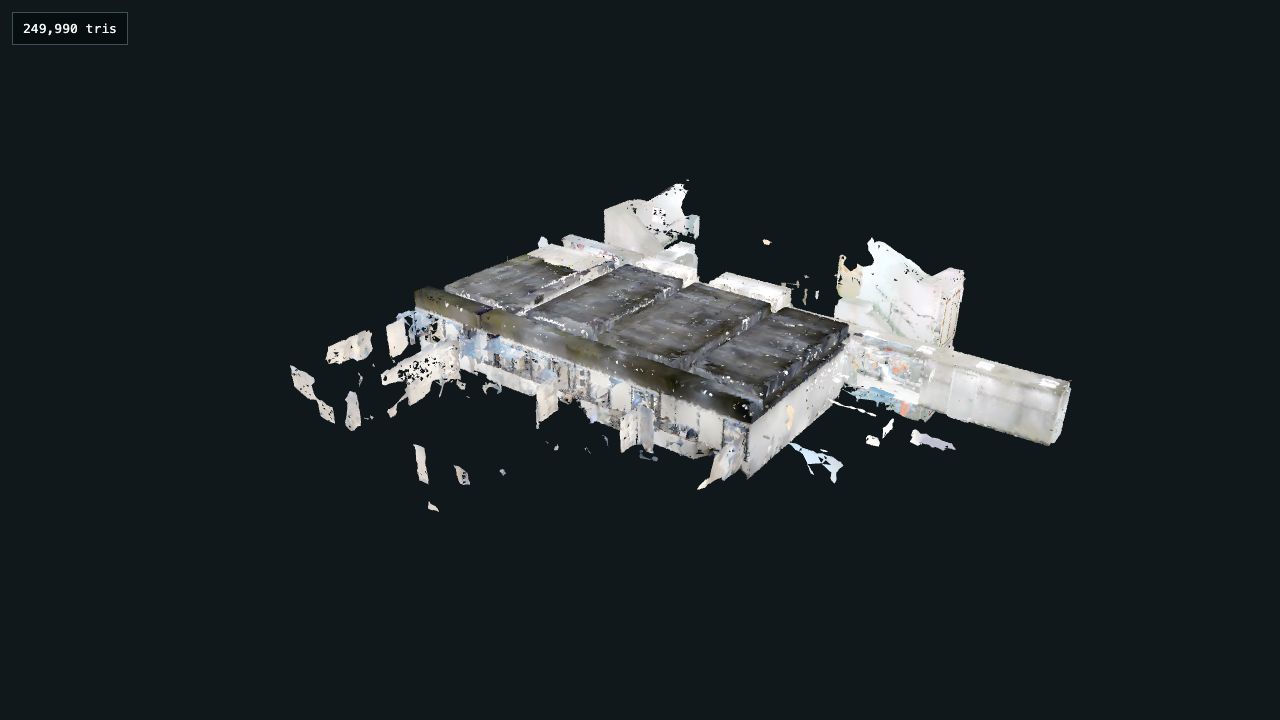
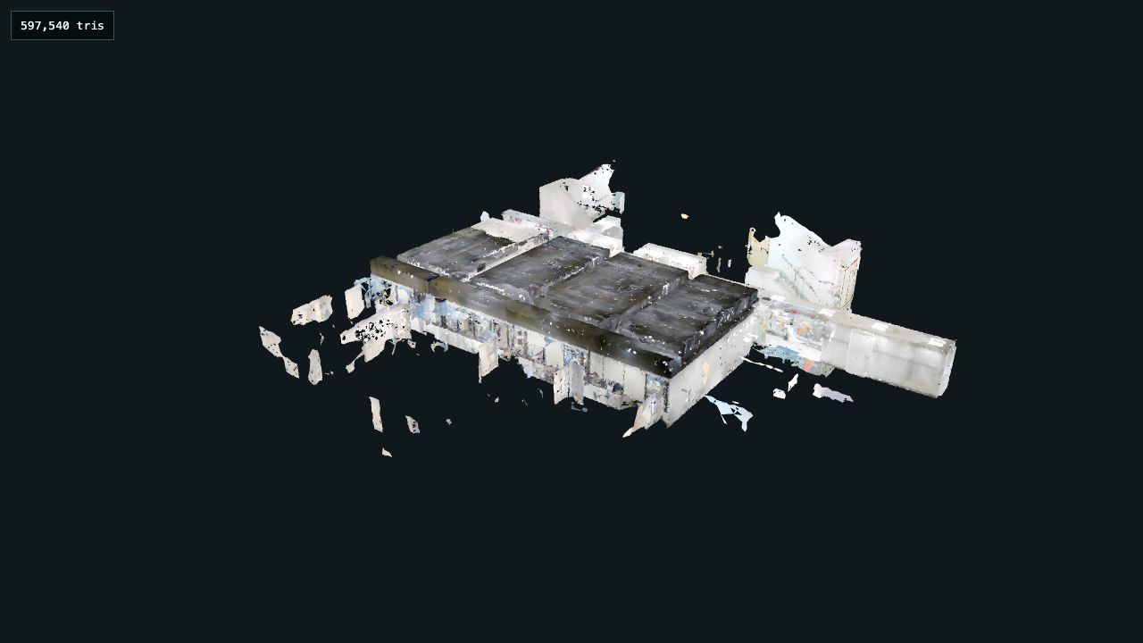
SODI is Fortemont's spatial data infrastructure: capture reality with 360° cameras, LiDAR scanners or phones, and turn it into interactive virtual tours, 3D meshes and time-based site records. Navigate, measure, annotate, compare and share — no spatial-data expertise required.
SHOWCASE
SODI — Capture reality. Make it useful.
ImageSODI — Capture reality. Make it useful.SODI is Fortemont's spatial data infrastructure: turn 360 footage, E57 scans, LiDAR and point clouds into interactive virtual tours, 3D meshes and time-based site records — no spatial-data expertise required.
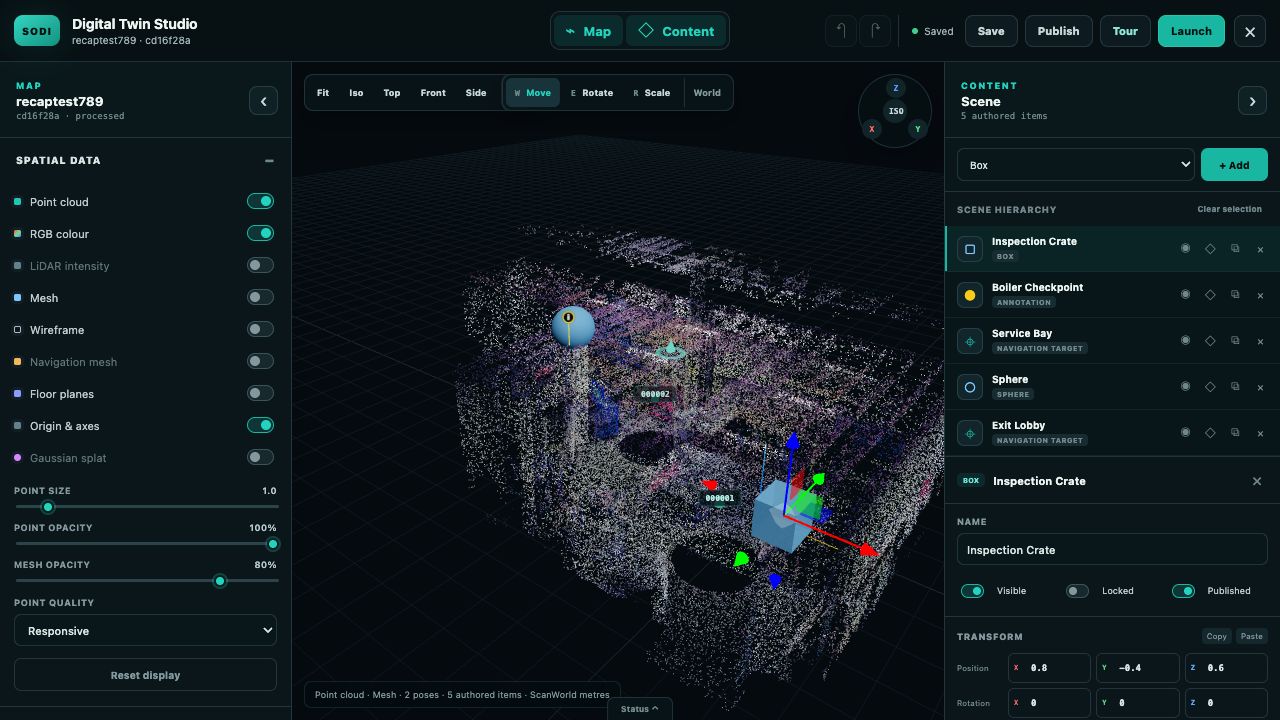
SODI Digital Twin Studio — spatial workspace
ImageSODI Digital Twin Studio — spatial workspaceAuthor scenes inside the capture: layers for point cloud, RGB colour, LiDAR intensity, mesh, navigation mesh, floor planes and Gaussian splats — with authored items, annotations and navigation targets ready to publish.
SODI — virtual tour on desktop
ImageSODI — virtual tour on desktopNavigate captured sites in the browser: move between poses, open annotations and share the tour with teams, clients or the public.
SODI — virtual tour on mobile
ImageSODI — virtual tour on mobileTours and spatial records travel to the field: mobile and WebXR-ready viewing keeps captured sites available where the work happens.
01 / 04
CONTINUE THE CONVERSATION

Ask about the solution, deployment choices, integration, recent updates, or what a first project could look like.

You can ask
Fortemont Intelligence is AI. By using it, you agree to our Terms & Privacy Policy. Chats may be reviewed and used to improve our AI models. Learn more